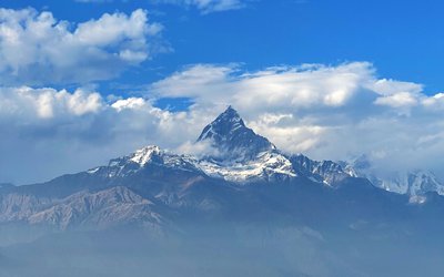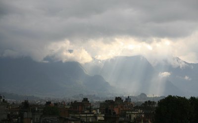
Meteorological Forecasting Division predicts that there will be partly to generally cloudy in the eastern and central regions along with in the western hilly region and partly cloudy in the rest of the country.
According to forecast, light rain or thunder and lightning possible at some places of the eastern and central regions and at a few places of the western region towards afternoon.
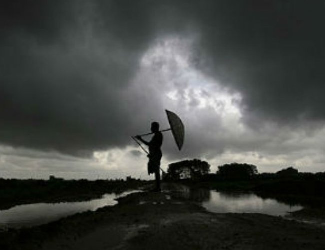
As Southwest Monsoon has finally made an onset over eastern Nepal after a delay of ten days the advancement of Monsoon has remained snail like slow and performance remained weak and sluggish.
Monsoon has made complete onset over Northeast India, and more parts of West Bengal have come under the radar of Monsoon rains.
According to wethermet.com , the Northern Limit of Monsoon is passing through the cities of Ratnagiri, Kolhapur, Shivamogga, Salem, Cuddalore, on the western side and Kolkata, and Gangtok on the eastern side.
Prediction of skymetweather.com
The advancement of Monsoon over Kolkata has taken place in view of the formation of a Low Pressure Area in the Bay pf Bengal, which is currently over Northeast Bay of Bengal.
With this, rains in Kolkata are expected to be seen in the coming days. However, Kolkata lies in the north of the system, and more rains are seen over the southern areas of the system. Thus, rains will only be light in nature with a couple of moderate spells in some parts of the city.
Southwest Monsoon has further advanced and covered entire Coastal Karnataka and parts of Interior Karnataka. An offshore Trough is persisting along the West Coast. Therefore, we expect moderate to heavy rains over Kerala and Coastal Karnataka. Scattered rains are possible over Interior Karnataka and Rayalaseema. Isolated rains may occur in Tamil Nadu including Chennai. North Coastal Karnataka and Telangana may witness heavy spells. Good rains will also continue over Lakshadweep and Andaman and Nicobar Islands.
Moving to East/Northeast India, a cyclonic circulation is over West central Bay of Bengal and another cyclonic circulation is over Bihar and Jharkhand. Therefore, we expect light to moderate rains with heavy spells over Odisha and Jharkhand. Rains may increase now over Bihar. Isolated light rains may occur over East Uttar Pradesh. Due to the cyclonic circulation over Northeast India, rains with heavy spells will continue over the northeastern states, Sikkim and Sub-Himalayan West Bengal.
In Central India, heavy rains will continue over South Konkan & Goa. In fact, Chhattisgarh will also witness good rains with few heavy spells. Scattered rains may occur over Vidarbha, Marathwada, parts of Southwest Madhya Pradesh, Southeast Rajasthan and North Konkan & Goa including Mumbai.
Due to a fresh Western Disturbance over North Pakistan and its induced cyclonic circulation over Central Pakistan, light rains are expected in Jammu and Kashmir and Himachal Pradesh. Isolated dust storm and light rains are possible in Punjab and Rajasthan as well. Weather in Haryana and Delhi will remain dry.
Monsoon arrived before time over the Bay islands, but when it came to the mainland, Monsoon did see quite a delayed arrival, reaching Kerala seven days after its normal date. Since then, the progress of Monsoon has been as snow as a snail and the current has been very weak and sluggish.
Monsoon systems form on either side of coastline. However, the systems that form in the Bay of Bengal are more beneficial, as they lead to Monsoon advancement and are not very far away from the coast. On the other hand, the systems in the Arabian Sea give temporary rains and relief and in fact, cause more damage than they do good, as they move away taking the moisture and rainfall away.
Low Pressure in Bay of Bengal
Now, after a sluggish start, daily rain deficiencies, and the cumulative deficiency reaching to a whopping 43 percent, Monsoon is finally hitting the right chord.
The Cyclonic Circulation which had formed in the Bay of Bengal has become more organized as it gathered strength in the past 24 hours. Moreover, cloud configuration and satellite imagery suggest the system has already become a low pressure area and lies in the northern parts of Bay of Bengal off Odisha and West Bengal Coast.
- Supreme Court upholds appointment of 52 officials
- Jul 03, 2025
- Weather Forecast: Generally Cloudy In The Hilly Areas With Heavy Rainfall In Some Areas Of Bagmati And Koshi Province
- Jul 03, 2025
- MCA-Nepal Welcomes Continued U.S. Support for MCC Nepal Compact Implementation
- Jul 02, 2025
- Sutlej to sell electricity from Arun III to Uttar Pradesh
- Jul 02, 2025
- PHDCCI India-Nepal Centre Organises “India-Nepal Fintech Summit 2025” In New Delhi
- Jul 02, 2025