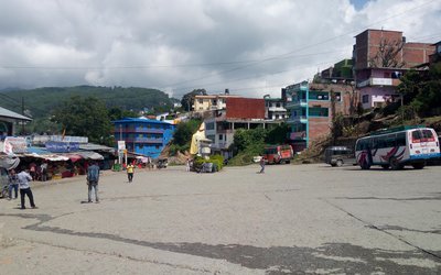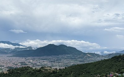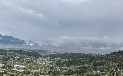
Generally cloudy throughout the country. Light to moderate rain with thunder and lightning is possible at many places of the western region and at some places of the eastern and central regions , chances of heavy rainfall at one or two places of the eastern and western regions.
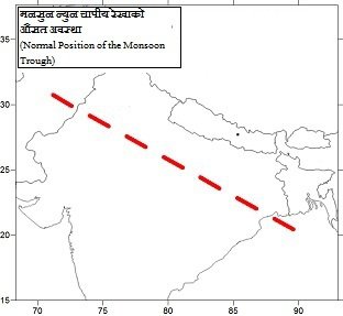
According to Meteorological Forecasting Division, Axis of the Monsoon Trough is in the close to average and there is a well marked low at Northeast Rajasthan and Haryana, there is chances of heavy rainfall at one or two place of the eastern and western region.
According to Skymet Weather India, Yesterday’s Cyclonic Circulation over Bangladesh and adjoining areas has now moved inland and is presently lying over Gangetic West Bengal and Jharkhand as a Low-Pressure Area. The Monsoon Trough is active and is moving across East India. Rainfall activities will once again enhance over Jharkhand and many parts of Bihar during the next 24 hours. Bokaro, Daltonganj, Ranchi, Gumla in Jharkhand will see intense rains while Gaya, Nawada, Aurangabad and Champaran are likely to record moderate to heavy rains.
Moderate rains with few heavy spells accompanied with lightning will be seen at many places. While activity will reduce over Gangetic West Bengal and light to moderate spells will occur at many places of this state. Whereas, in Northeast India, Sikkim and Sub-Himalayan West Bengal may receive light to moderate rains at some places.
While the Low-Pressure Area over Haryana has merged with the Monsoon Trough.
- India’s External Affairs Ministry’s Senior Officials Says Indo-Nepal relations are ever expanding
- Jul 05, 2025
- Bhutan Government Unveils Three Pronged Strategies To Tackle Skilled Migration Crisis
- Jul 05, 2025
- Weather Forecast: Generally Cloudy Across The Country With Heavy Rain At One Or Two Places Bagmati And Koshi Provinces
- Jul 05, 2025
- FNCCI President Dhakal Urges British Companies to Invest in Nepal
- Jul 04, 2025
- Nepal Is Expected To See 60,000 People Infected with Dengue This Year
- Jul 04, 2025