Reacting to Nepal officially issuing a new political map Wednesday that shows Kalapani, Limpiadhura and Lipulekh as parts of their territory, India has said the “unilateral act is not based on historical facts and evidence” and that it would not accept “artificial enlargement of territorial claims”.
The Ministry of External Affairs also said that it hopes that Nepal will create a positive atmosphere for dialogue to resolve the issue.
“It is contrary to the bilateral understanding to resolve the outstanding boundary issues through diplomatic dialogue. Such artificial enlargement of territorial claims will not be accepted by India,” an MEA spokesperson said, adding that the neighbouring country is well aware of India’s position on the issue.
Explained: The new Indian road to Lipu Lekh, Nepal’s protests, and the area’s strategic importance
“We urge the Government of Nepal to refrain from such unjustified cartographic assertion and respect India’s sovereignty and territorial integrity,” the spokesperson added.
Nepal Prime Minister Oli had on Tuesday had asserted that the Kalapani-Limpiadhura-Lipulekh area in the trijunction of Nepal-India and China (Tibet) will be brought back within Nepal’s map at any cost.
Oli had said that with the approval of the new map by the Cabinet, “we will now be relentlessly engaging to realise those areas back through diplomacy”. “The issue will not fade away any more, we are least bothered if anyone gets angry and we will reclaim that land at any cost,” he had said.
The Lipulekh pass is a far western point near Kalapani, a disputed border area between Nepal and India. Both India and Nepal claim Kalapani as an integral part of their territory – India as part of Uttarakhand’s Pithoragarh district and Nepal as part of Dharchula district.
India had said that the recently-inaugurated road section in Pithoragarh district in Uttarakhand lies completely within its territory. Indian Army chief Gen MM Naravane last week said that there were reasons to believe that Nepal objected to India’s newly-inaugurated road linking Lipulekh Pass with Dharchula in Uttarakhand at the behest of “someone else”, in an apparent reference to a possible role by China on the matter.
He said there was no dispute whatsoever between India and Nepal in the area and road laid was very much within the Indian side.
The Indian government also said that it hopes that Nepal will create a positive atmosphere for dialogue to resolve the issue.
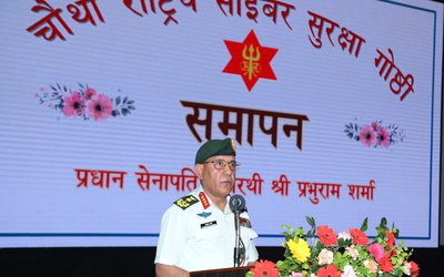
- Nepal Army Held National Cyber Security Symposium
- Apr 26, 2024
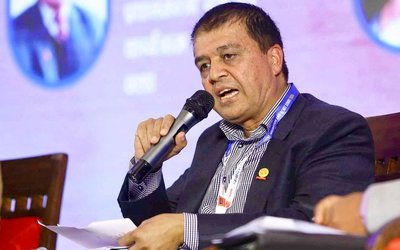
- Nepal’s Investment Landscape Revitalize By Nine Ordinances: FNCCI President Dhakal
- Apr 26, 2024
- Weather Forecast: Partly Cloudy In Hilly region And Mainly Fair In Plain Areas
- Apr 26, 2024
- Nepal-China Aid Project Meeting Held In Lhasa
- Apr 25, 2024
- Ambassador Subedi Presented The Letter Of Credence To President Of Italy
- Apr 25, 2024