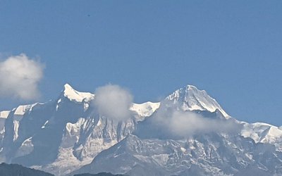
As the country will get western trough from Wednesday, rain is likely to occur in a few areas of the country. Due to this pattern, light snowfall in high hilly and mountainous areas of Far West and Karnali and light rain in hilly areas of Far West, Karnali and Gandaki on Wednesday.
The Department of Hydrology and Meteorology said this pattern will remain for one or two days. According to the Department, the weather will remain normal across the country, with the possibility of light snowfall in one or two places of the high hilly and mountainous regions of Province 1, Bagmati Province and Gandaki Province.
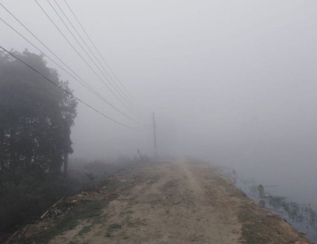
The department said that Terai districts are covered with dense fog during morning and day which is causing extreme cold in few parts of Terai.
The DHM also urged people to take necessary precautions to avoid cold as there is a possibility of thick fog in the morning in the Terai districts including the Kathmandu Valley.
According to India Meteorological Department, two consecutive active Western Disturbances (03-05 January 2022 and 06-09 January 2022) very likely to affect Northwest & adjoining central India during next 7 days No Cold Wave Conditions likely over North India during next 7 days
- The Sentiment Of Monetary Policy Seems Focused On Increasing Eemand: FNCCI President Chandra Prasad Dhakal
- Jul 26, 2024
- Monetary Policy 081/82 Is Making The Economy More Dynamic: Governor Adhikari
- Jul 26, 2024
- Global IME Bank And Shashila Motors Signed Agreement Regarding Electric Vehicle loan
- Jul 26, 2024
- Lok Bahadur Thapa, permanent representative of the UN in New York, was appointed as the Vice President of ECOSOC
- Jul 26, 2024
- Leeladevi Gadtaula Became The First woman Chief Secretary
- Jul 26, 2024